National agricultural authorities require real-time macro-level visibility for pest control, biosecurity zoning, and food safety planning. Ruijinte delivers scalable infrastructure grids to meet regional project requirements.
Ministries of Agriculture & Forestry
National plant protection agencies and quarantine bureaus
National grain and food security programs
Smart city and digital agriculture infrastructure initiatives
Regional IoT Pest Monitoring Grid: Features smart pheromone capture stations with automatic lure switching, self-cleaning adhesive rolls, and AI-based edge species recognition to track quarantine pest migrations across state borders.
National Environmental Telemetry System: Employs solar-powered agro-meteorological stations and multi-depth soil moisture nodes to correlate root-zone water indices, weather spikes, and pest incubation risks.
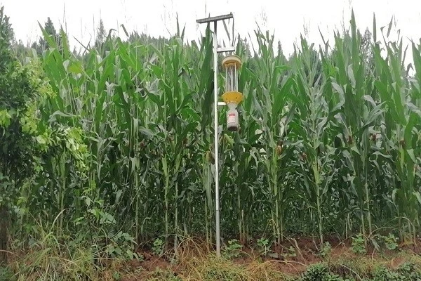
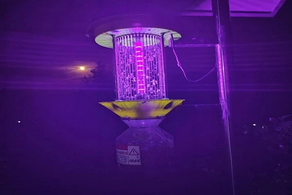
Public-Scale Mitigation Layer: Cloud-connected centralized solar insecticidal networks allow remote scheduling, automated fault detection, and large-scale synchronized regional pest control.


Full open API integration for standard government software ecosystems.
Complete compatibility with GIS mapping platforms to generate pest heatmaps, dynamic outbreak prediction zones, and macro historical trend analytics.
Provides reliable 2–3 week early pest outbreak warnings at the national level.